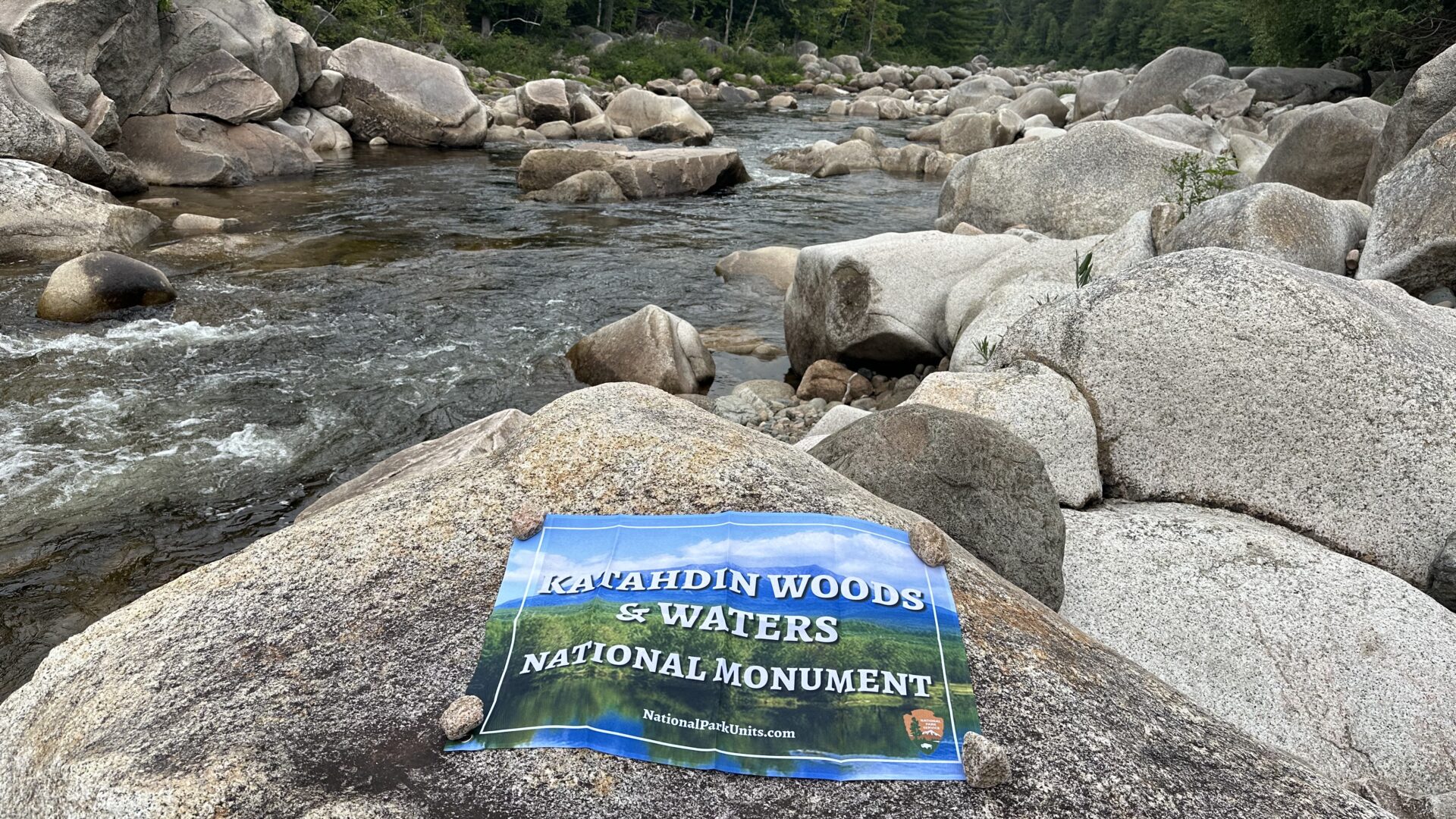
Katahdin Woods and Waters National Monument
Remote. Rugged. Wild. Katahdin Woods and Waters National Monument in northern Maine is all of this. Established as a national monument in 2016 by President Obama, the land was donated by the co-founder of Burt’s Bees, to be maintained as wilderness in perpetuity.
Butting up against Baxter State Park on west side, the main access points to Katahdin are on the north and south. These access the Northern and Southern sections. A few other sections of the park are to the east of the Penobscot River, open to hunting. In all, Katahdin Woods and Waters protects over 87,500 acres of land and the east branch of the Penobscot river.
North Entrance
The north entrance is near the Matagamon entrance to Baxter State Park. From there, a couple of gravel roads go south to parking and to picnic areas. Once those roads end, there is nothing. From there, people access the park on foot or via the water. Multi-day adventurers can pitch a tent, or take advantage of huts and lean to’s along the way.
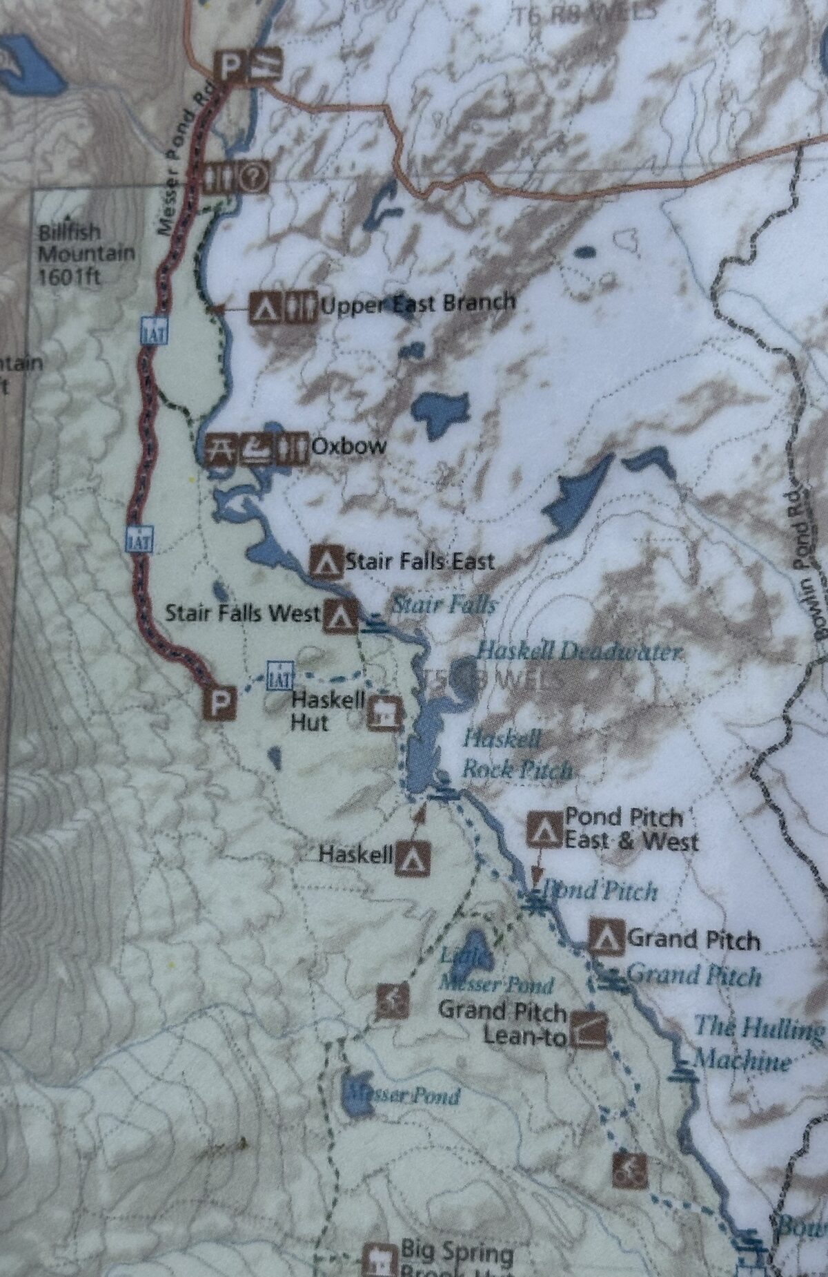
South Entrance
From the south, visitors come from the Katahdin Scenic Byway, highway 11. Entry to the park is via a gravel road, in and out of private landholdings. There are lots of signs warning folks that these are active gravel logging roads, so watch out for big log trucks. Once inside the park, there are no logging trucks, but the roads are still pretty rough.
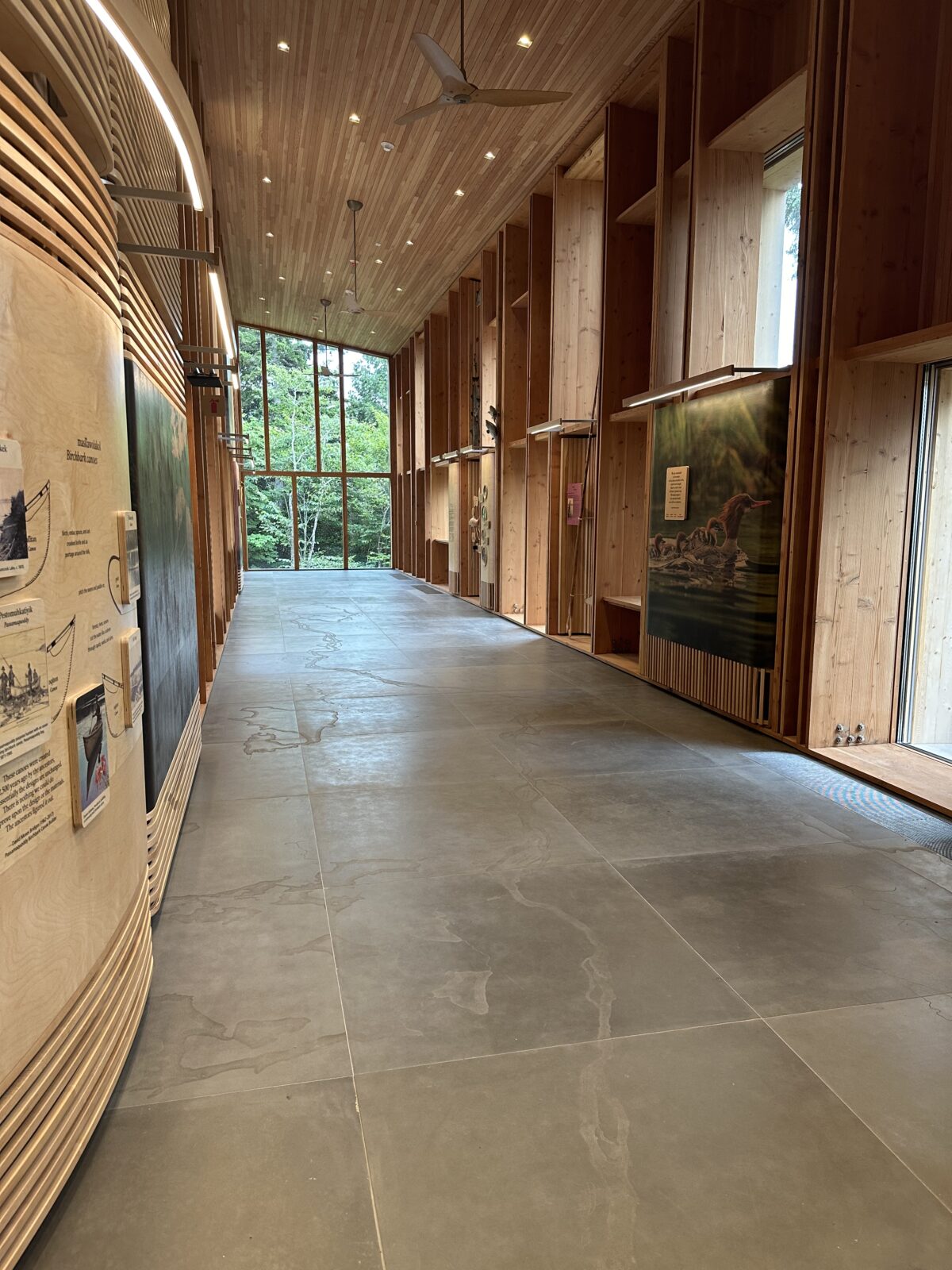
Inside the south entrance, you can visit the Tekakapimek Contact Station to find out more about the park. We were fortunate to be there opening weekend in August 2024. The building is magnificent. It is worth coming to the park just to see the architecture and displays.
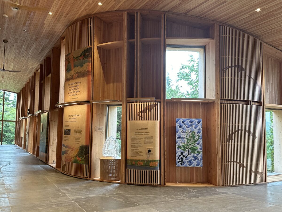
The building was designed to fit into the surroundings, blending into, not distracting from the wilderness. The volunteers who were there, happily attested that you are not able to even see the building from the river. Be sure to check out the floor. It is engraved with the path of the river.
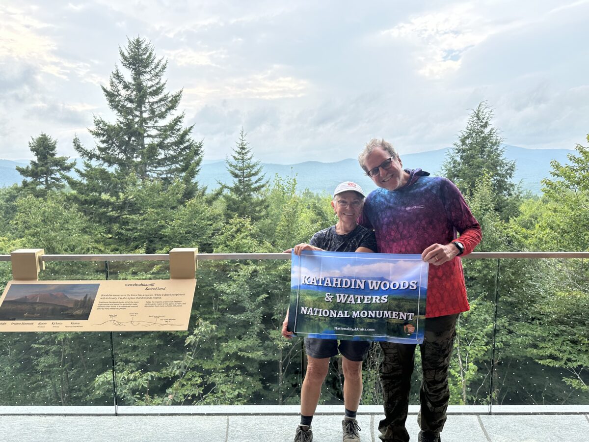
A balcony, complete with rocking chairs, looks out over the mountain peaks with Mount Katahdin looming over them all. As the highest peak in Maine, Katahdin (meaning “great mountain”) is over 5,200 feet tall, and the official end (or start) of the Appalachian Trail.
Similar to the north side, apart from a few roads, the only real way to get into the wilderness is on foot or by mountain bike. Many of the trails are actually on old logging roads, so they are wide and level. Perfect for hiking and biking. They are also used in winter, with 16 miles of trails groomed for cross-country skiing and snowshoeing.
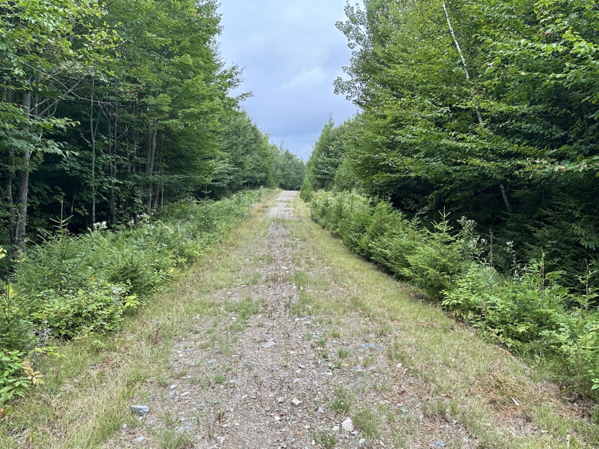
In all, there are over 50 miles of trails in the monument.
Scenic Drive
The south entrance offers a 17 mile scenic drive with several trailheads along the way. Although a family car can do the drive, a high clearance vehicle is highly recommended.
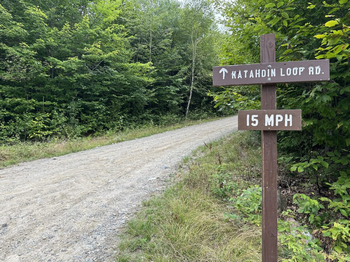
We had considered bringing our Class B RV. It likely would have done fine, except where the tree canopy hung really low over the road. That might have been a bit problematic. We were much happier in a rented jeep!
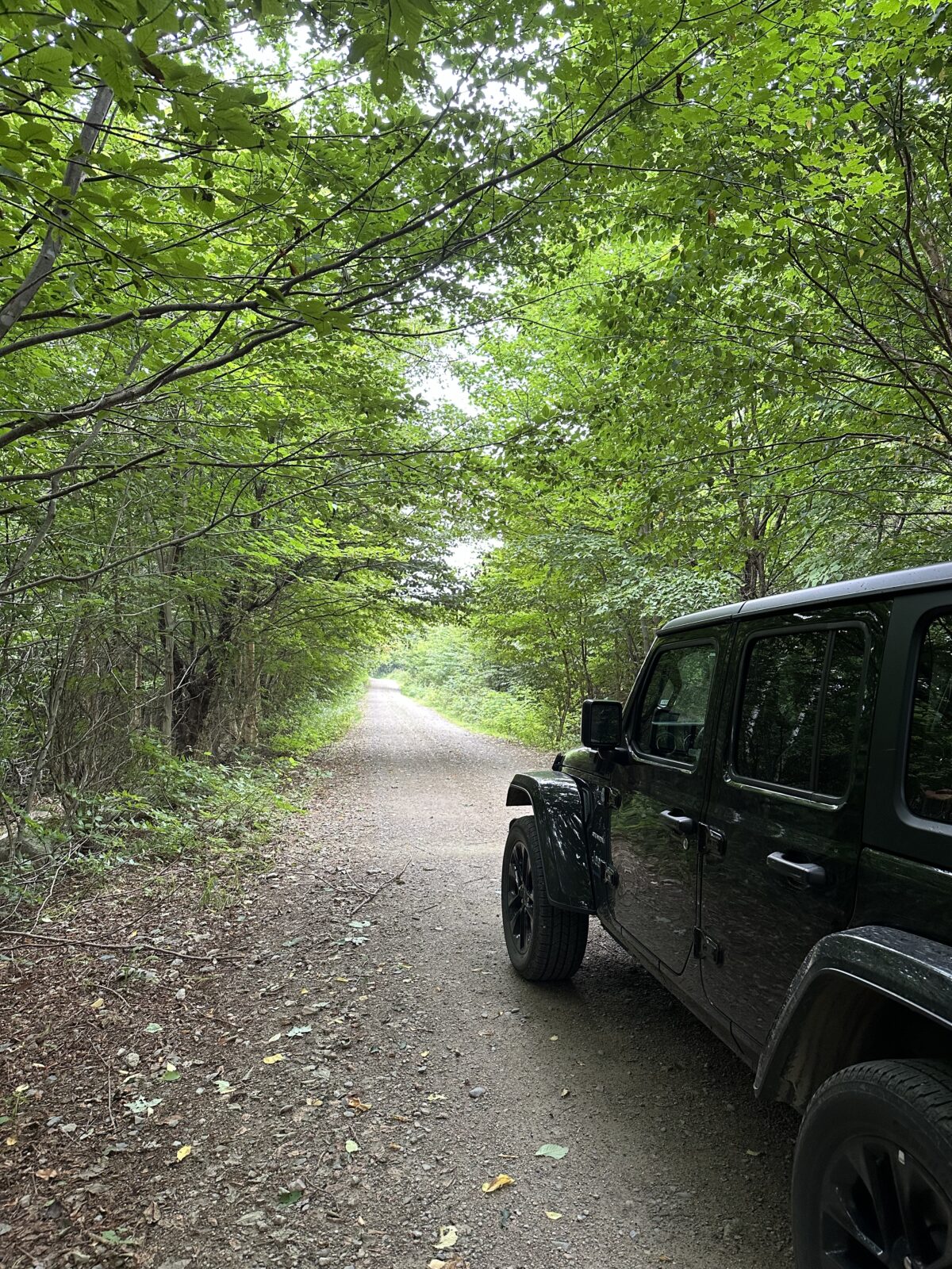
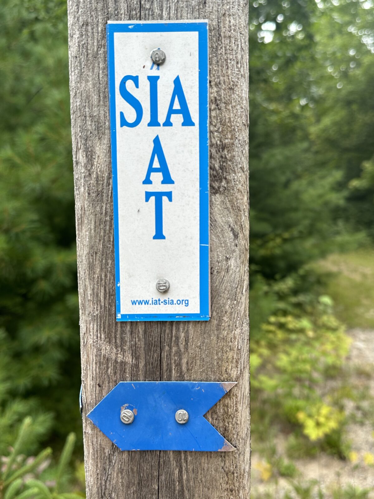
One of the trailheads along the loop road is Barnard Mountain, that’s the start of the International Appalachian Trail (IAT). The IAT goes through the park for 30 miles. Until visiting here, we weren’t even aware there was an International Appalachian Trail. We were even more surprised to learn that it continues from Maine all the way to the tip of Newfoundland.
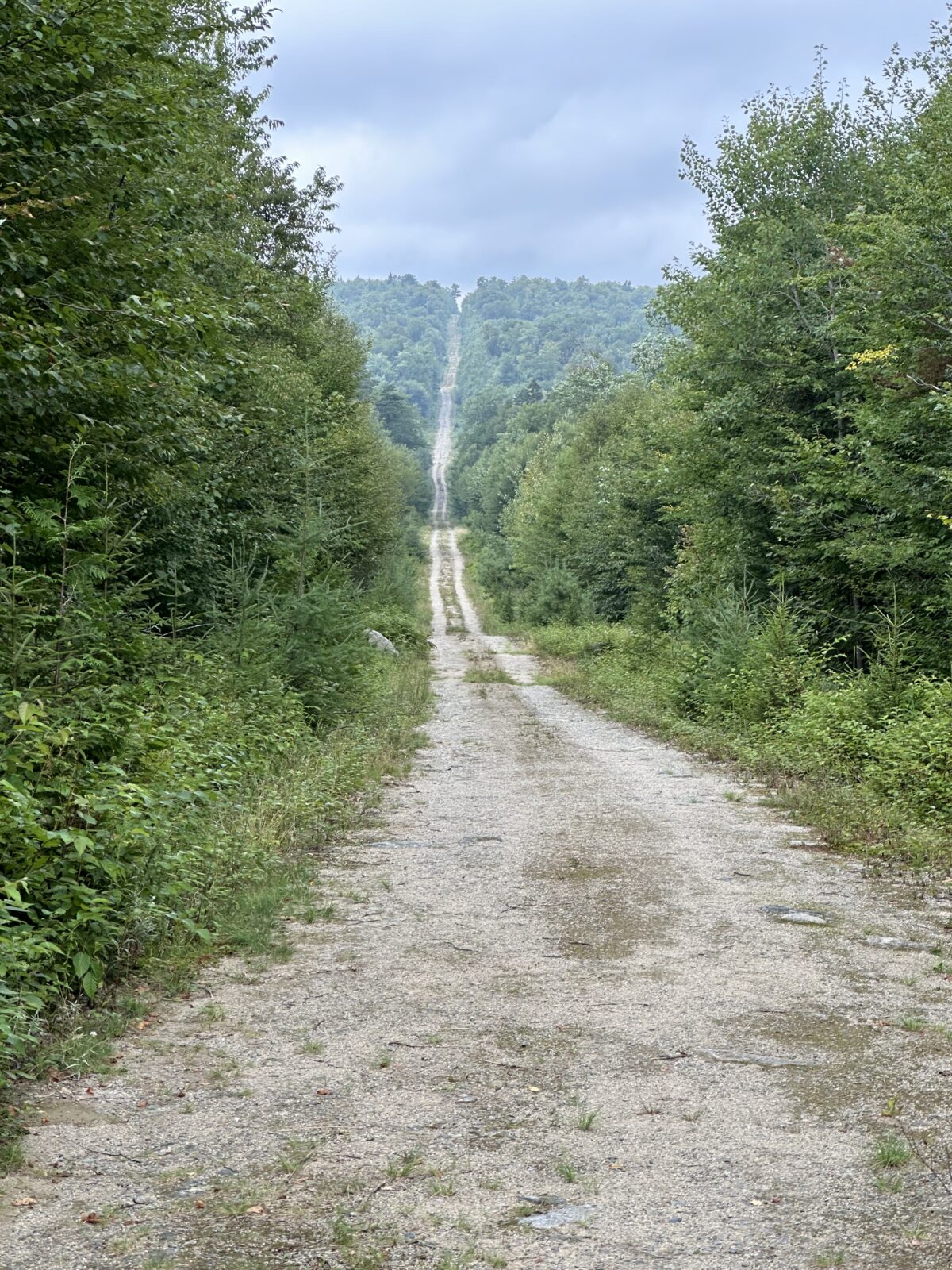
And, even more surprising, there are sections in Europe and North Africa. Who knew?
Baxter State Park
Any visit to the Katahdin region would not be complete without a stop at Baxter State Park. Established in 1931, Baxter is the largest park in Maine. Not actually a state park, Baxter has a separate governing body. The land was donated by former governor Baxter with the edict to keep it forever wild.
Baxter is over double the size of the national monument, at 209,000 acres, and offers camping, picnic areas, and water sports like canoeing, kayaking and paddle boarding. There are 220 miles of nicely maintained trails. We took a couple; one to see a bog and look for moose, and another to see some waterfalls. Many of the trails go up Katahdin mountain, but be aware, if you are interested in that, they limit the numbers of folks on these trails by limiting parking. Be sure to check before you go to see if there are parking spots available to reserve.
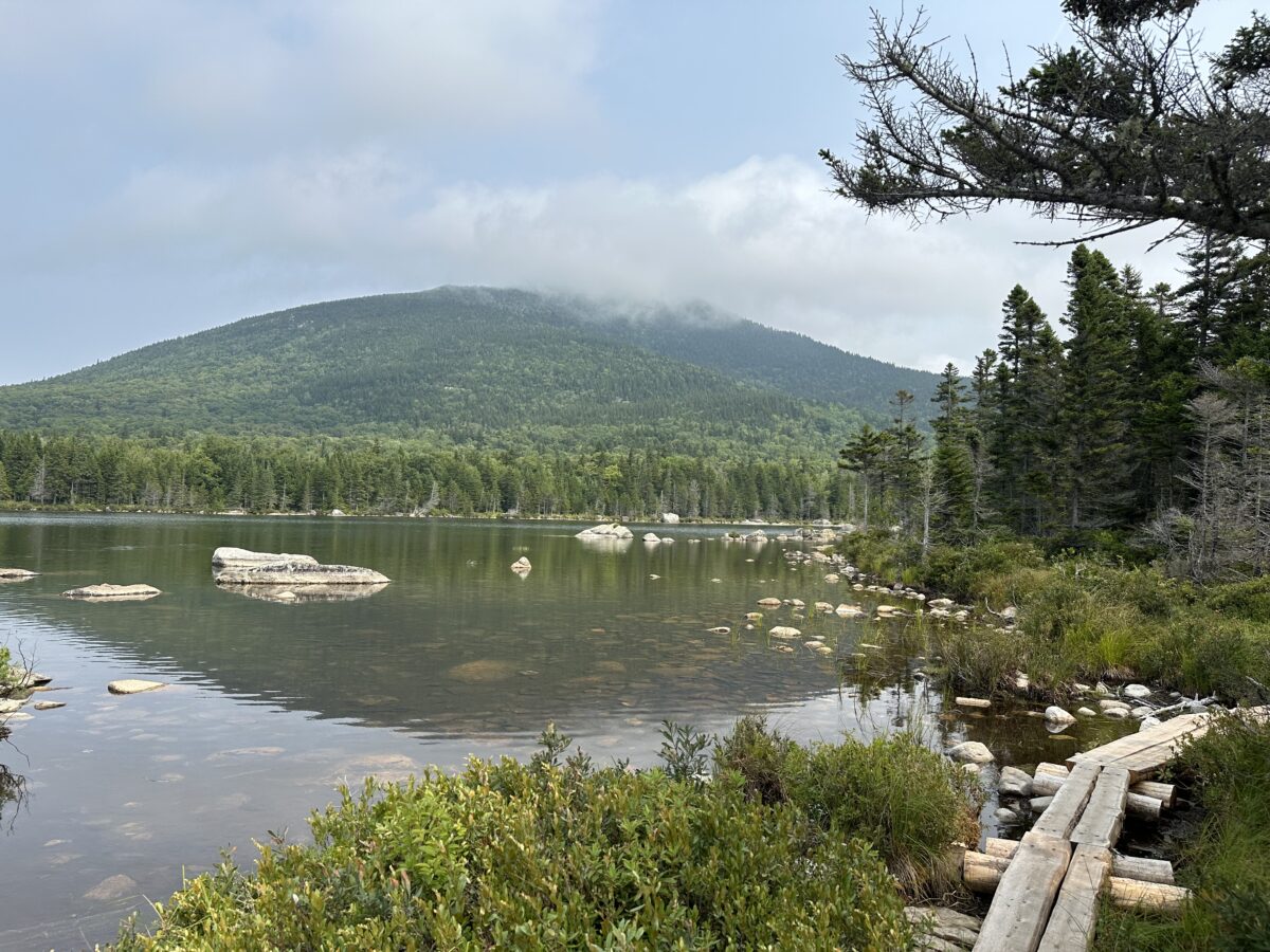
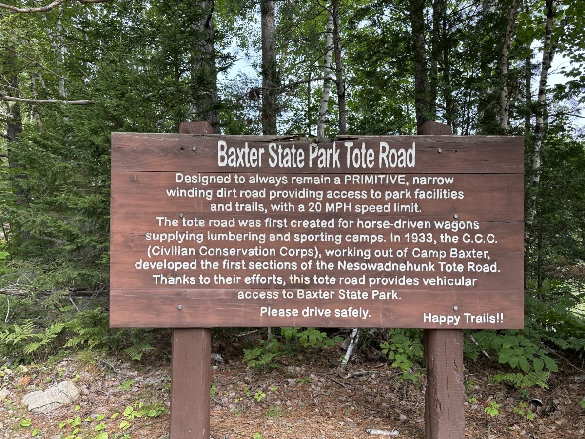
We would recommend the drive through the park. If you don’t mind a rough, narrow, winding road, it is really beautiful. We can only imagine how gorgeous this would be during the fall with all the colors.
Are you trying to visit all the National Parks, or National Park Units?
If your goal is to visit them, one or all, we’d love to help you strategize. Give us a call at (480) 609-3978 or drop us a note here. We always enjoy talking with people who share our passion for visiting these gems of the National Park Service.
#FindYourPark
#SeeAmericaFirst
