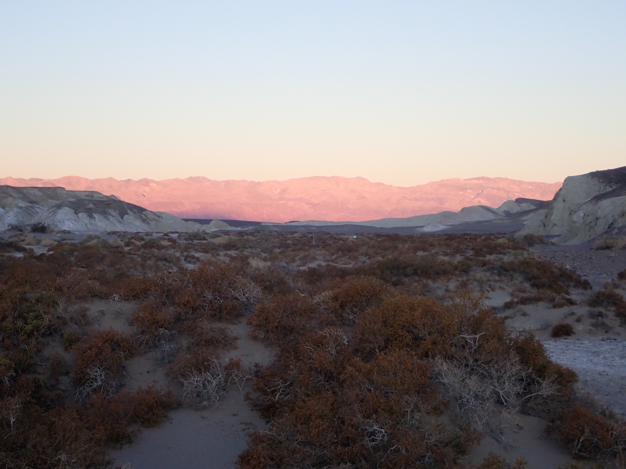
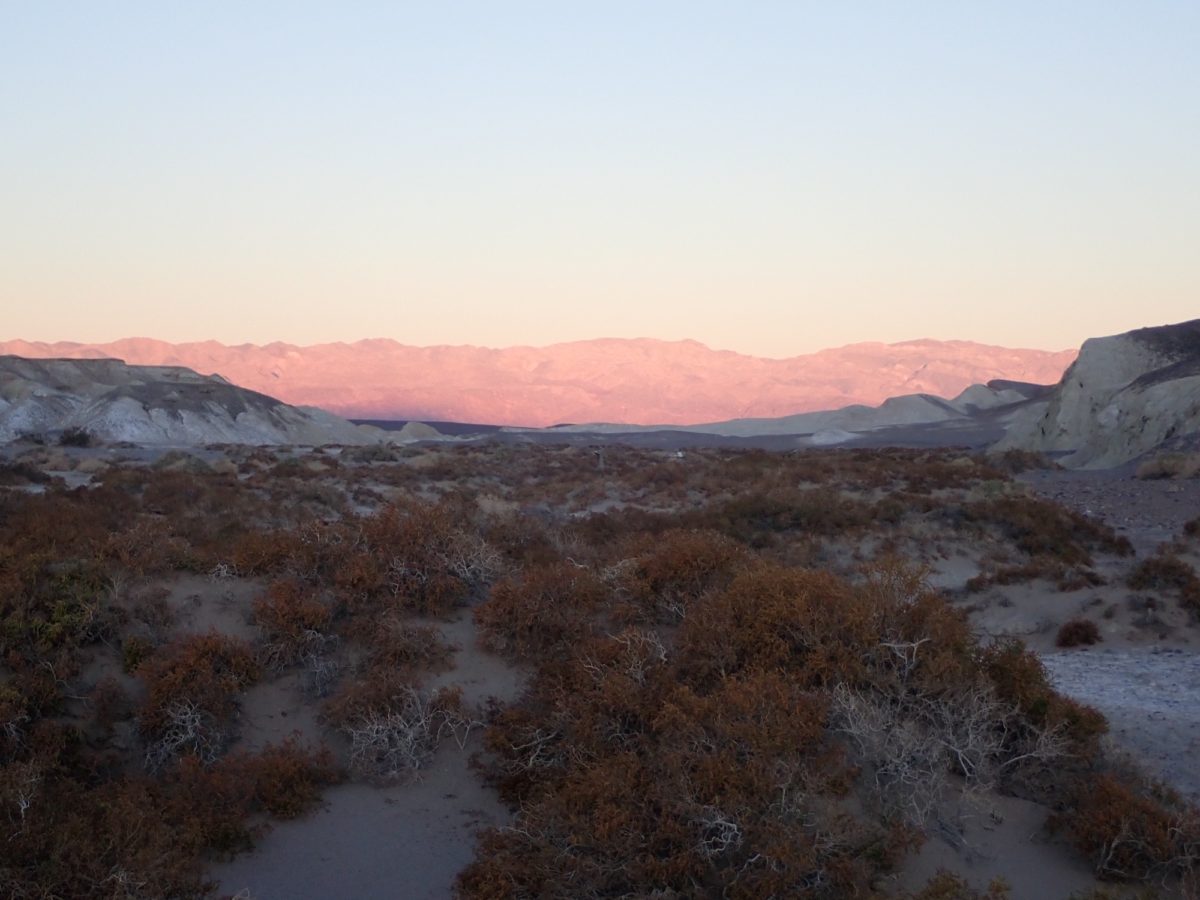
Death Valley National Park: Always More To Discover
We have been to Death Valley National Park in California at least a half a dozen times and thought we had a good feeling for what the park has to offer. We have hiked Mosaic Canyon and Wildrose Peak; we’ve been to Badwater Basin; walked the boardwalk at Salt Creek; driven to Artists Palette, seen the view from Dante’s Point; visited the Borax mine and Scotty’s Castle; and participated in both cycling and running events to get even more up-close and personal with the park.
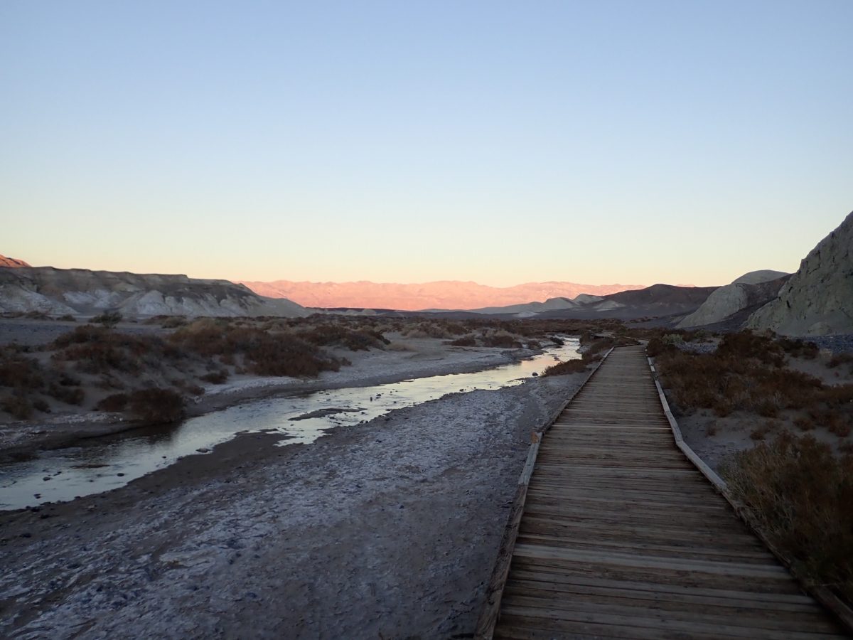
But this visit we did three things that were entirely new and different. Thinking about it, it makes sense that there would be more for us to see, given that Death Valley National Park encompasses over 3 million acres and is the largest national park unit in the lower 48. But we weren’t expecting to be as surprised as we were.
Volunteer Recommendation
When we arrived, we asked at the visitor center for some recommendations of something we hadn’t seen or done. The volunteer had lots of ideas for us – a couple at the north end of the park. We may not have thought of that since all the signs say that the road to Scotty’s Castle is closed, but that’s only a short section of the road. The main road is still open. We drove all the way north until the pavement ended at Ubehebe Crater.
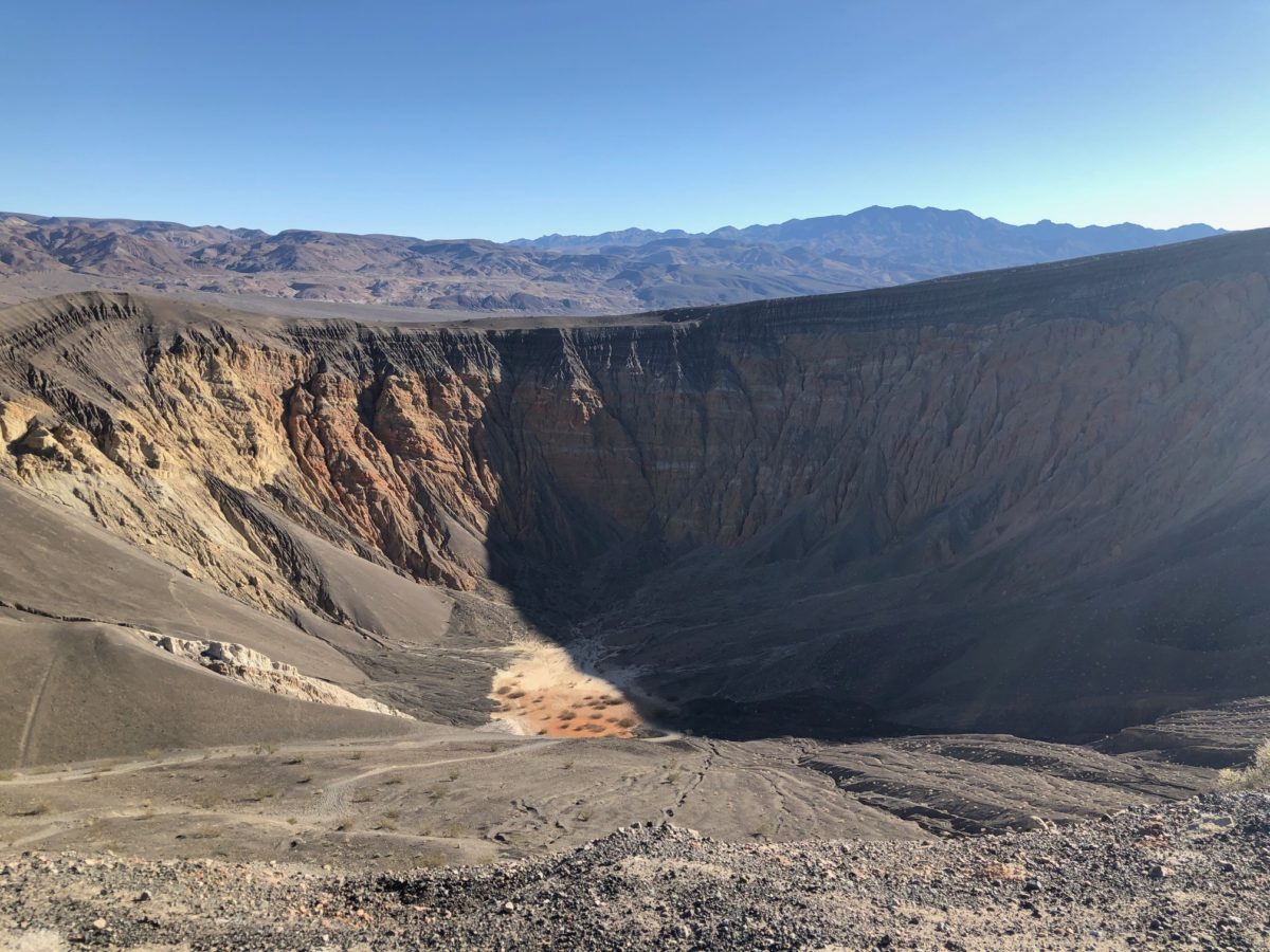
Ubehebe Crater
The crater is about 50 miles from Furnace Creek. As you drive north, you really get a good feeling of how immense this park is. The valley just seems to go on forever. You’ll pass the sand dues and the vast expanse of Mesquite Flats, with the snow-capped Panamint mountain range off in the distance and the Last Chance Range extending to the north.
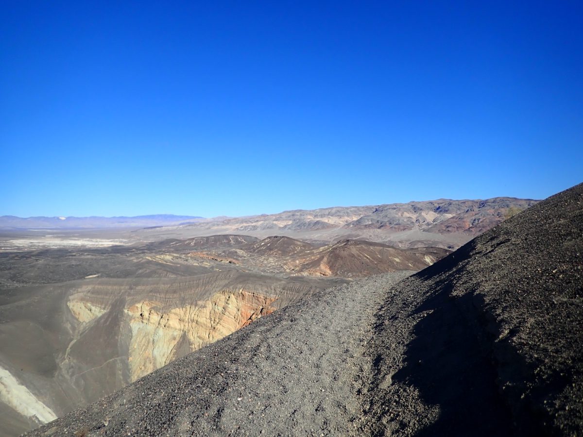
The paved road ends at the overlook to Ubehebe Crater – a 600 foot deep crater formed several hundred years ago when magma heated up water in an underground spring, causing an explosion that hurled volcanic rock for miles. Stand at the overlook and be amazed at the size of this huge crater.
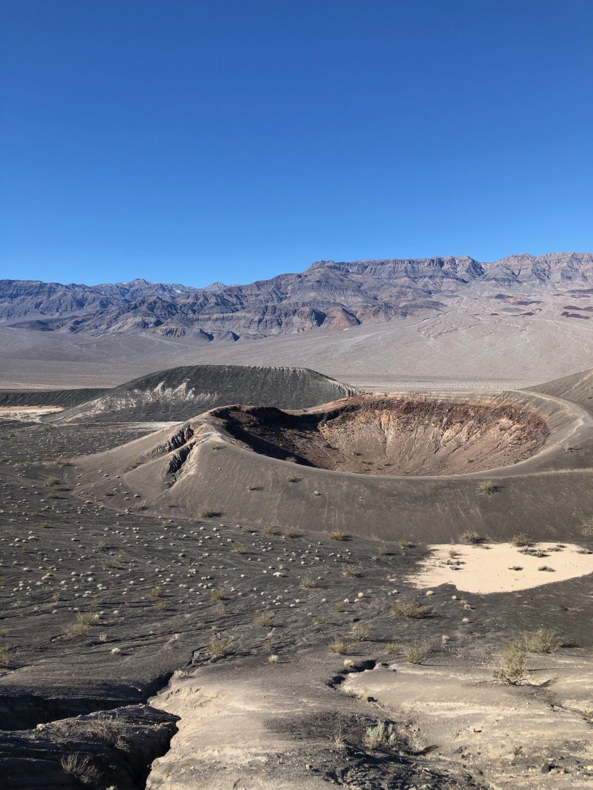
If you like to get out for a walk, we enjoyed walking the circumference of the crater and back to “Little Hebe”, a smaller but just as amazing hole in the ground. There are paths along the top of both craters and beyond… extending for miles if you like to explore. You can even walk to the bottom; just be aware that “what goes down, must come up!” and it is a pretty steep climb with no switchbacks.
The paths are so smooth they almost look like asphalt, but as they get to the top edge of Ubehebe they get pretty narrow. The path is not for the faint of heart but it is pretty amazing to look down into the crater from different points of view. The rock formations were really interesting and very different than anything we had seen anywhere else in the park. We were really happy that we went there.
Titus Canyon
On our way back south from Ubehebe Crater, we made another detour – this one 3 miles down a gravel road (okay for a regular car to go on). It ended at a parking area where Titus Canyon Road comes out. This is a 22 mile one-way road accessible only with a high-clearance vehicle that comes into the park from near Beatty, Nevada.
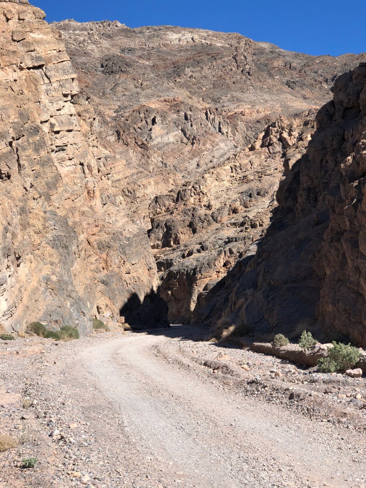
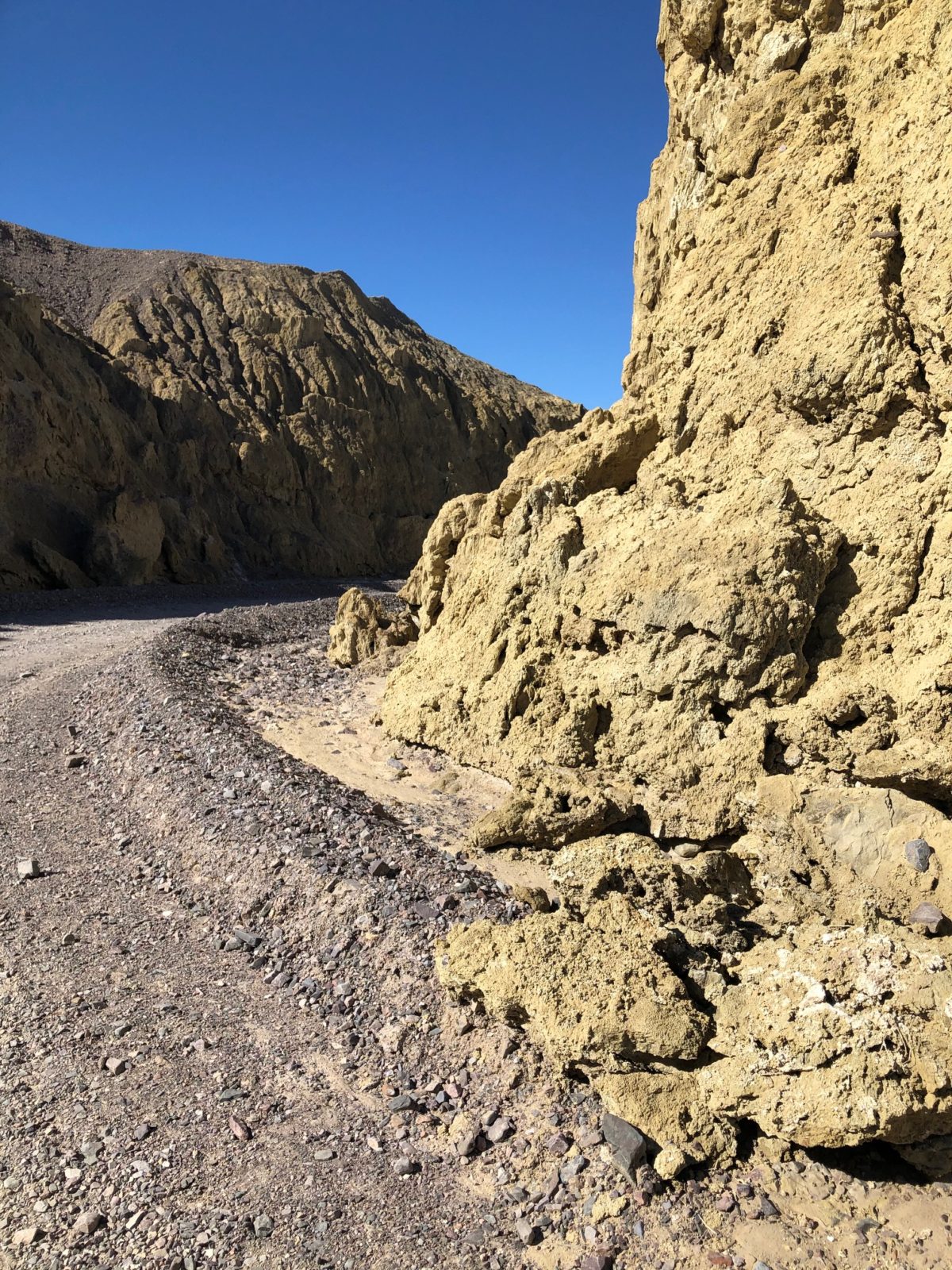
We had planned to take the Falls Canyon hike – a 6 mile round trip hike with a 2400 foot elevation gain through a narrow canyon and back to a dry waterfall. But we opted for the easier route and decided instead to walk up the Titus Canyon Road. It is great way to experience a steep narrow canyon and the sheer cliffs, without having to do a hard hike! You can even take your dog!
Walk as far as you like; the main canyon is 1.5 miles long and the road twists back and forth – in places only 30 feet wide with cliffs raising on either side. They say that you may see bighorn sheep there, but we didn’t see any.
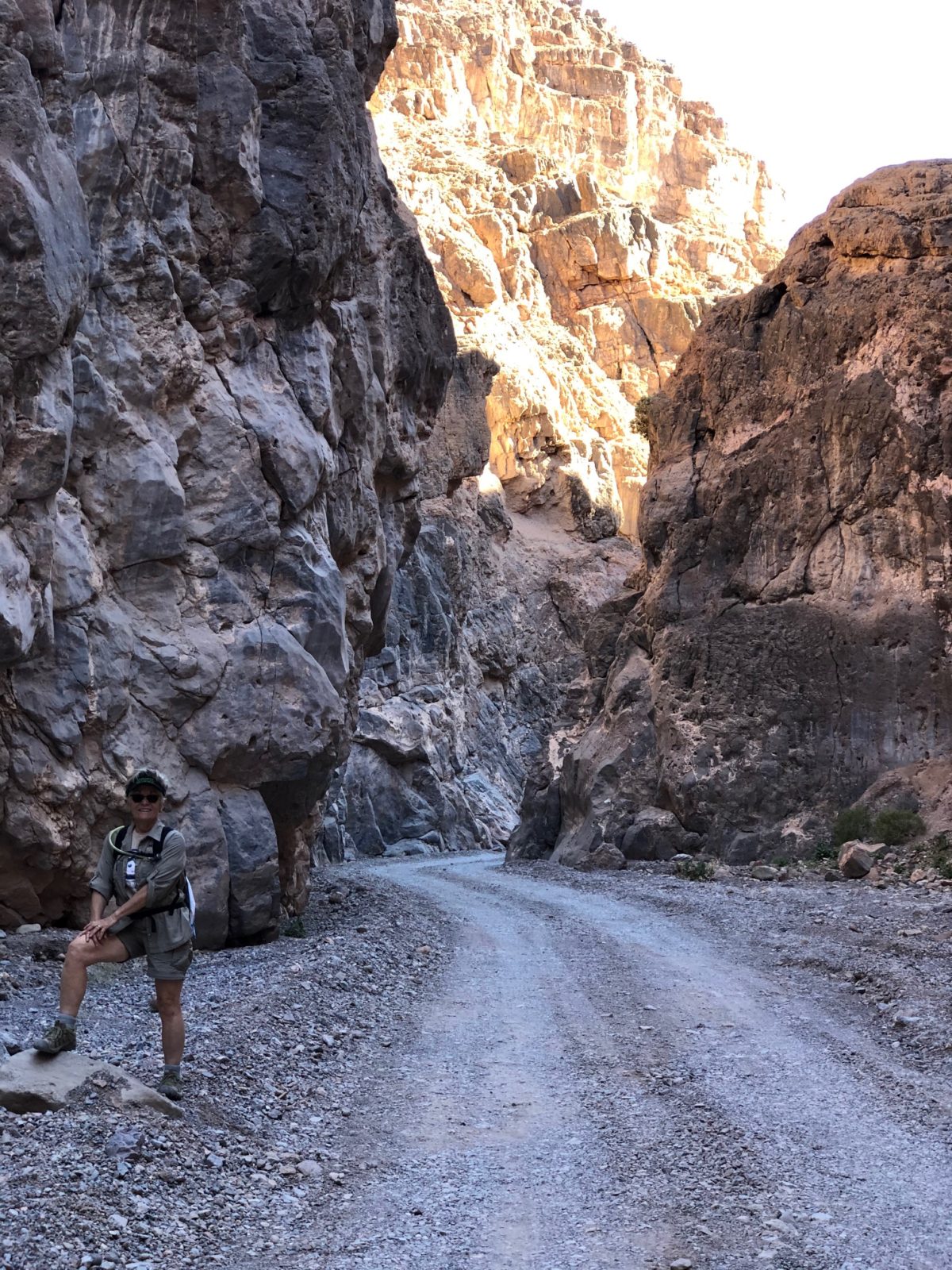
Although we had been in canyons in other places in the park, this one is unique because of how narrow it was and the fact that you can drive right through it. We want to go back someday and take that drive; visiting the ghost town of Rhyolite that is just east of where the Titus Canyon Road starts. This old mining town was home to over 10,000 people in 1905; Today it is just a few crumbled facades and a tiny cabin built using over 50,000 bottles!
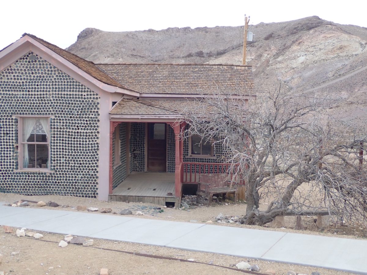
Mustard Canyon
Our last surprise was at Harmony Borax Works, close to Furnace Creek. We had visited there and walked the interpretive trail, but this time we continued along the gravel road that went from there through Mustard Canyon. It was really cool to see the round yellow hills that reach up out of the valley floor. Once again, easily accessible by walking along a gravel road.
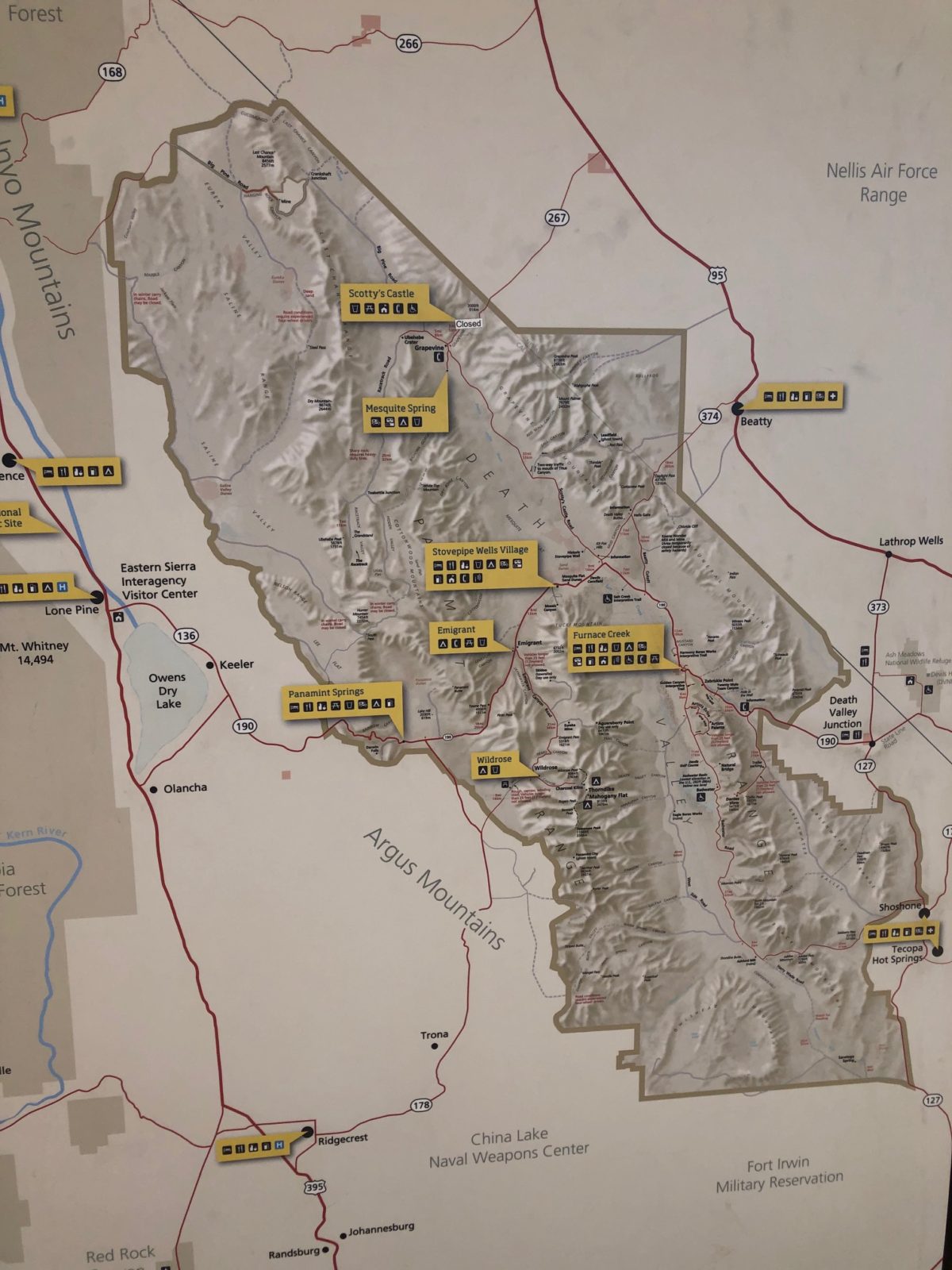
Look a little more closely at the Death Valley map and you will see lots of places to explore. Many do require a high-clearance vehicle. We look forward to returning with our truck and finding even more of these hidden gems…
Need Help Planning Your Visits?
If you would like to explore this or other National Park Units, but need a bit help in the planning, please give us a call at (480) 609-3978. We are happy to offer customized trip planning.
